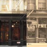
The Green Street Project takes a look at 400 years of Greene Street between Prince and Houston. Based on a report the site brings the data to life through maps, old/new reveals like the one above, charts, movies, and text, in a really nice online exhibit. … [Read more...]
OldNYC brings the New York Public Library NYC photo archive to your phone
Who doesn't love a large geotagged data set of historical photos? The OldNYC app let's you click on a location and pull images from the NY Public Library's Photographic Views of New York City, 1870s-1970s collection so you can see what the area or building looked like years ago. The app is a mobile version of OldNYC.org which mapped the collection's images after they … [Read more...]

